What does an elephant corridor look like? It turns out that the answer might depend on which species you belong to.
“People think an elephant corridor means a long narrow tract, many kilometres long that connects two areas such as national parks,” says Prithiviraj Fernando, chair of the Centre for Conservation and Research (CCR) and a leading authority on Asian elephants. However, his research is revealing that elephants have another perspective. “It is not that corridors are irrelevant to elephants or unimportant but the term ‘corridor’ in relation to elephants means something very different.”
Not surprisingly, the human view is the one that dominates. Corridors are a key element in the original plan developed in 1949 to promote elephant conservation and mitigate human-elephant conflict on the island.
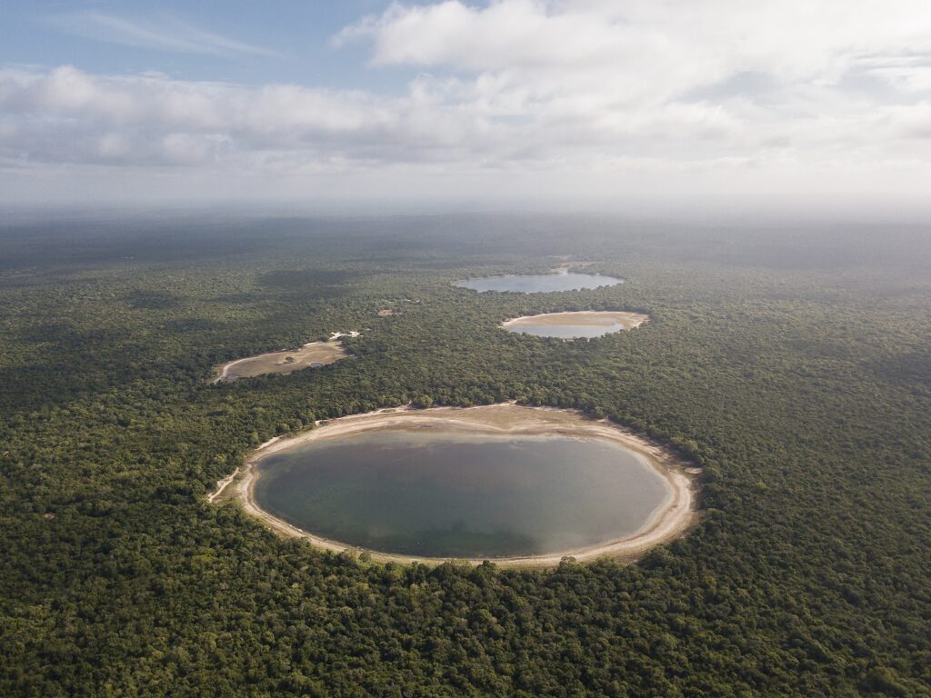
The plan, which Sri Lanka has more or less been following ever since, has the potential to impact many lives since we live in what is essentially elephant country – some 6,000 Sri Lankan elephants (Elephas maximus maximus), a unique subspecies of the Asian elephant, can be found roaming across nearly two-thirds of the island. This is a significant population, representing 10% of global numbers. Over 70% of them are outside protected areas and share the land with people.
Such a high number of elephants and people living together means that the human-elephant conflict in Sri Lanka is the highest in the world. Now, elephant corridors are once again being considered as a strategy to reduce fatal encounters between people and their giant neighbours – the logic is that a corridor will allow elephants to move between one protected area and the next, without having to go through a village. But do corridors actually work?
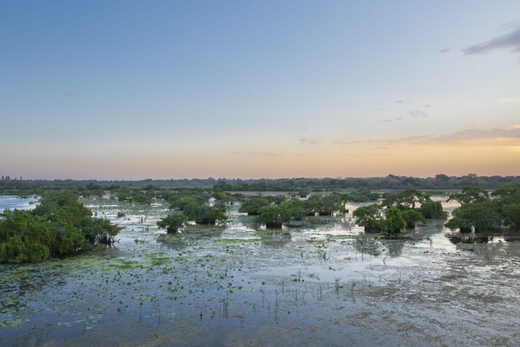
The only declared elephant corridor in Sri Lanka – the Wetahirakanda corridor, which connects the Udawalawe and Lunugamvehera National Parks – is an example of how proponents thought this road would function. However, it runs entirely through elephant habitat which is administered by the Forest Department, and in practice the corridor actually divides elephant home ranges as electric fences have been constructed along its boundaries.
“Consequently, there are elephants on both sides of the corridor as well as within the corridor,” says Prithiviraj ruefully, emphasising that the situation is complicated further as elephants roam widely outside protected areas. “People think that there are such corridors and identify them based on what they imagine the elephants do. Unfortunately, the elephants do not know about such corridors!”
Using GPS technology to track elephants
To get a more accurate reading of how elephants navigate the landscape, the team at CCR have been working with Sri Lanka’s Department of Wildlife Conservation (DWC). They have tracked over 80 elephants and found that elephants have distinct home ranges where they roam throughout the year. The chosen elephants were collared with a GPS (Global Positioning System) unit attached. The technology relies on a network of satellites to locate an object on the ground and is accurate to within a few metres.
The first elephant to be collared by the project was a young male they dubbed Kavantissa, named after an illustrious king who ruled the Ruhunu kingdom in southern Sri Lanka over 2000 years ago – to the researchers he’s Kavan for short. (You can read about how the CCR team found him here.) The number of collared elephants has since grown to include animals in and around the Yala and Lungumavehera National Parks and proposed Mattala Managed Elephant Range in southern Sri Lanka, as well as in the northwest, Minneriya-Kaudulla, Kalawewa, Somawathiya and Ampara.
Thanks to the collars, they have been able to keep close tabs on the elephant’s movements, night and day. They’ve also been able to figure out what an ‘elephant corridor’ really is by analysing this data.
For starters, corridors aren’t fixed, pre-existing pathways. Instead, they tend to evolve based on elephants adapting to ongoing development. When a home range is outside a protected area, elephants must find paths that will take them safely through a maze of villages, cultivations and reservoirs. So, these aren’t pathways that connect geographically separate seasonal home ranges, but bottlenecks within their home ranges.
A corridor can be quite variable in size – anything from 50m to a few kilometres in width and length. These corridors are critical in the sense that they are the only paths elephants are left with to move around within their home range.
They’re discovering corridors can be in surprising places – like the one point where elephants can cross a road because everywhere else along its length there are houses or other blocks. This is the case with the Udamalala corridor which is the single point at which elephants can now cross the Hambanthota-Weerawila road to go between Bundala and Mattala parts of their home range. Even that is under threat from cultivation and land grabbing.
This wealth of data is proving critical, and can help answer pressing questions on how to better manage elephant populations. And as critical as understanding what works, is knowing what doesn’t.
Development or disaster?
If these pathways are blocked by development activity or by installing electric fences, then elephants just try to go through them anyway, resulting in confrontations with people. If the obstacles are significant enough, they’ll try to find a new corridor, which might send them wandering into human spaces. For the elephants, being able to access his or her home range is a matter of life and death – those that cannot find a way through are more vulnerable a long, slow death from starvation.
Some have thought the whole issue could be solved simply by driving elephants away. Elephant drives attempt to do just that: over the course of weeks, and even months, hundreds of people invade elephant territory, setting off guns and thousands of fireworks in order to drive the elephants away or into protected areas.
The practice dates back hundreds of years to when the ancient Sinhalese first began investing in an extensive network of more than 2,500 rainwater catchments reservoirs or tanks, which transformed the island’s arid dry zone and made it a veritable paradise which could support agriculture. Even then, elephants were perceived as a threat.
In recent years, such incidents have become more common, as human beings increasingly venture into wild spaces, encroaching into forests and once protected areas for both agriculture and infrastructure projects
However, this is another strategy destined to fail. Elephant drives often remove the females and young, who are not the troublemakers in the first place. (It’s the single males who are statistically more likely to be a challenge.)
And elephants, like humans, don’t give up on their homes that easily – many leave the area, only to promptly return as soon as possible. And when they do come back, they’re likely to be more aggressive and hostile to humans – simply resetting a vicious cycle.
Good fences make good neighbours
If elephants can’t be confined to protected areas, and can’t be driven away, is the solution simply that humans and elephants must learn to live together? And how can farms and homes be protected, while still allowing the animals to be where they are?
The authorities are now considering new corridors – a number have been proposed by the DWC but researchers caution that since they are based on what people believe rather than on tracking data, and are additionally likely to have electric fences to mark their boundaries, they could do more harm than good. However, if tracking data could be used to identify real, critical corridors that elephants use, development could continue, and simply be rolled out in a way that didn’t obstruct the paths.
There have been cases where this has happened – plans for both the Mattala airport and the Hambanthota extension of the southern highway were amended to incorporate space for vital elephant corridors. However, implementation remains the big challenge. For instance, the Asian Development Bank-funded North-west Canal Project commissioned but failed to implement a wildlife management plan that would have seen corridors identified and protected.
Another example is in the south of the island, where corridors were identified within the Mattala Managed Elephant Range (MER) based on tracking data. These were proposed specifically to mitigate the human-elephant conflict and protect elephants. “However, after more than a decade, even the MER has not been gazetted and many corridors are encroached and developed, blocking elephant movement, causing continuing escalation of conflict and loss of elephants,” says Prithiviraj.
While environmental groups continue to try and lobby the government to take action to reduce the human-elephant conflict, they have seen more success with communities.
It appears that the main problem with fences is that the electric fences are often in the wrong place. In response, the CCR team have piloted solar-powered fences that villagers and farmers can install to protect settlements and tracts of cultivation. Such modest fences guard the essentials – a strategy that appears to be much more affordable and effective than trying to force elephants into protected areas, and keep them there.
CCR has installed such community fencing in 25 villages and 25 paddy tracts, while the DWC has taken the technology to another 30 villages. However, Prithiviraj cautions that it will need a concerted national effort to reduce human-elephant conflict. “We need to look at deploying this on a much wider scale, and truthfully, I don’t think it can be accomplished by NGOs or even the conservation sector of the government. People and the agencies responsible for people’s welfare and development such as the Divisional Secretariats and Agrarian Services Department have to get involved if we are to effectively mitigate human-elephant conflict.”